A literature survey is considered as an important process to understand existing research patterns and find potential gaps. Discover the untapped potential of your REMOTE SENSING AND GIS ideas with our comprehensive analysis and meticulous literature survey. Let our team of experts assist you in elevating your grade to new heights. To conduct literature survey for the project based on GIS and remote sensing, we offer a procedural flow that assists you to deal with this process in an efficient manner:
- Describe Your Research Query or Topic
Initially, the particular factor of GIS and remote sensing or the research query that you aim to explore has to be described in an explicit way. This will assist you to remain concentrated throughout the process and direct your literature exploration efficiently.
- Identify Relevant Keywords and Search Terms
Relevant to the chosen topic, gather search wordings or a collection of key terms. In the domain of remote sensing and GIS, the most employed synonyms, differences in wordings, and suitable terms must be considered. Note that you can assure an extensive search through this.
- Select Appropriate Databases and Resources
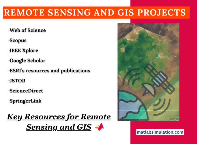
To identify highly related academic sources, conference papers, and other scholarly articles, you need to select appropriate resources and databases. For remote sensing and GIS, there are several major resources and they are:
- Web of Science
- IEEE Xplore
- ESRI’s resources and publications
- ScienceDirect
- Scopus
- Google Scholar
- JSTOR (It is more suitable for extensive environmental science and geographical-based topics).
- SpringerLink
- Review Key Journals and Conferences
It is most significant to find and investigate major conferences and journals, in which there is a recent research publication based on the domain of remote sensing and GIS. The following are a few crucial journals to consider:
- International Journal of Remote Sensing
- GIScience & Remote Sensing
- ISPRS Journal of Photogrammetry and Remote Sensing
- Remote Sensing of Environment
- Photogrammetric Engineering & Remote Sensing
- Document Retrieval and Review
After reviewing major conferences and journals, all the related documents and papers have to be downloaded. To decide their importance, analyze the abstracts, discussions, and conclusions thoroughly. To interpret the latest techniques and patterns, concentrate on the current publications.
- Organize and Synthesize Findings
On the basis of methodologies, discoveries, concepts, or some other appropriate categorization techniques which aligns with your research query, arrange the literature. For emphasizing gaps, challenges, concurrence, and patterns in the previous studies, integrate the information.
- Critical Analysis
In the major literature, examine the methodologies and discoveries in an in-depth manner. In what way they dedicate to the domain and the potential benefits and shortcomings should be assessed. In the existing studies, you can detect gaps by means of this analysis process, in which you are capable of fulfilling those gaps through your research.
- Writing the Literature Review
In a systematic manner, you should arrange your literature survey. It is beneficial to initiate the process with a wider perspective of the topic. Then, related to your exploration, you can compress the extensive topic to particular studies. Developments in methodologies, major discoveries, and possible gaps have to be emphasized. In order to create a foundation for your research goals or queries, finish with a phase which establishes the connections among the aim of your project and surveyed literature.
- Cite Appropriately
To offer acknowledgement to actual authors and to ignore plagiarism issues, you must make sure whether all the materials are mentioned in your literature survey in an appropriate manner. Like Chicago, MLA, or APA, utilize a proper citation style that is most prevalent in your educational domain.
- Stay Updated
Generally, GIS and Remote Sensing are considered as fast growing domains. During the project development, you need to be aware of the current exploration patterns. You can easily find the recent publications by enabling notifications in databases, especially for your relevant key terms.
What are some undergraduate research topics in GIS dealing with spatial analysis?
GIS stands for Geographic Information Systems that are more suitable for various processes. To work with spatial analysis, we recommend several interesting GIS-based research topics that could be appropriate for undergraduate projects:
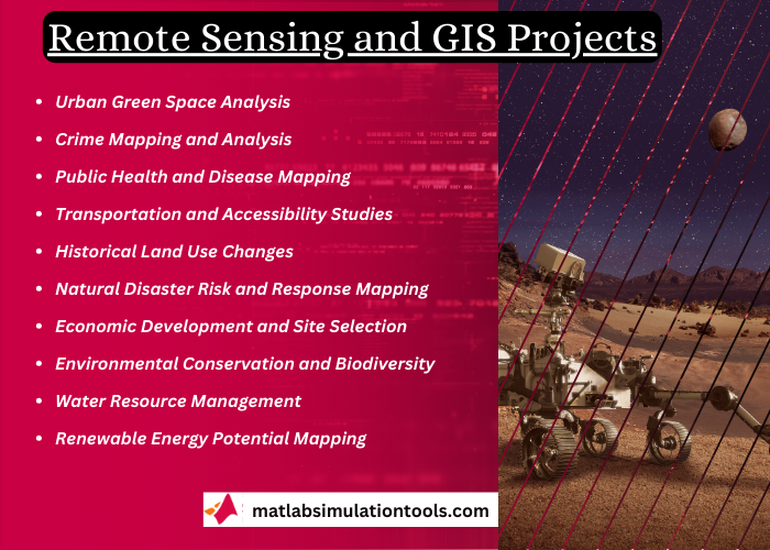
- Urban Green Space Analysis
- Project Topic: Across urban platforms, the availability and spread of green spaces have to be examined. On urban heat islands, study their effect.
- Goal: In offering urban regions for inhabitants and minimizing city temperatures, decide the efficiency of green spaces.
- Crime Mapping and Analysis
- Project Topic: By considering the links with urban framework and socio-economic aspects, detect patterns in crime events across a city through the utilization of spatial analysis.
- Goal: For creating intended crime obstruction tactics, support committee and local law enforcement strategists.
- Public Health and Disease Mapping
- Project Topic: The spatial spread of a particular health problem has to be examined. It could include the distribution of infectious diseases such as COVID-19 or the extensiveness of asthma.
- Goal: Potential socio-economic aspects or platforms and key areas that caused the health problems have to be detected.
- Transportation and Accessibility Studies
- Project Topic: To estimate the availability of most significant services like groceries, schools, and hospitals, analyze public transportation networks.
- Goal: Aim to improve the availability for unprivileged populations by suggesting optimizations in transportation networks.
- Historical Land Use Changes
- Project Topic: In a specific region, examine land use transformations periodically by employing latest GIS data and historical maps.
- Goal: On farming land and local environments, interpreting the effect of urban advancements is more crucial.
- Natural Disaster Risk and Response Mapping
- Project Topic: On the basis of predicting modeling and previous data, create risk maps, especially for various natural disasters like cyclones, earthquakes, or floods.
- Goal: By detecting possible evacuation paths and extensively-vulnerable regions, support disaster response and readiness policies.
- Economic Development and Site Selection
- Project Topic: By concentrating on several aspects like economic states, previous frameworks, and the density of population, carry out an investigation of site appropriateness for the purpose of novel amenity or business.
- Goal: Based on where to place novel amenities to attain higher effectiveness, support local governments and industries in the process of making wise decisions.
- Environmental Conservation and Biodiversity
- Project Topic: Biodiversity-based key regions have to be mapped. In such regions, examine the effect of human behaviors.
- Goal: Detect the major aspects of biodiversity loss and the important regions that require security, particularly for offering support to conservation endeavors.
- Water Resource Management
- Project Topic: To find the regions of water scarcity, the spatial spread of water resources and potential utilization patterns in an area must be studied.
- Goal: By focusing on regions that confront the issue of water shortage and proposing reduction policies, assist the activities of sustainable water management.
- Renewable Energy Potential Mapping
- Project Topic: In terms of meteorological and geographical data, this project considers the spatial investigation of regions which are more appropriate for the installation of renewable energy, such as wind turbines or solar farms.
- Goal: For renewable energy sources, find best locations and provide support in the process of designing and creation of sustainable energy resources.
REMOTE SENSING AND GIS PROJECTS
The possible REMOTE SENSING AND GIS PROJECTS that matlabsimulation.com experts has guided scholars in todays trending ideas are shared below. All our experts are trained staffs who has guided scholars right from sharing of research proposal thesis ideas, topics, and writing sevices.
- Incorporating machine learning models and remote sensing to assess the spatial distribution of saturated hydraulic conductivity in a light-textured soil
- CUDA-based parallelization of time-weighted dynamic time warping algorithm for time series analysis of remote sensing data
- Co-inversion of island leaf area index combination morphological and spectral parameters based on UAV multi-source remote sensing data
- Land use classification of high resolution remote sensing images using an encoder based modified GAN architecture
- Double U-Net (W-Net): A change detection network with two heads for remote sensing imagery
- DBCT-Net:A dual branch hybrid CNN-transformer network for remote sensing image fusion
- Remote sensing devices as key methods in the advanced turfgrass phenotyping under different water regimes
- NORNE, a process-based grass growth model accounting for within-field soil variation using remote sensing for in-season corrections
- Nighttime light remote sensing for urban applications: Progress, challenges, and prospects
- Delineation of potential groundwater recharge zones using remote sensing, GIS, and AHP approaches
- A review of machine learning models and influential factors for estimating evapotranspiration using remote sensing and ground-based data
- Geographical Information Systems and Remote Sensing Techniques to Reduce the Impact of Natural Disasters in Smart Cities
- High-throughput phenotyping of a large tomato collection under water deficit: Combining UAVs’ remote sensing with conventional leaf-level physiologic and agronomic measurements
- YOLOSR-IST: A deep learning method for small target detection in infrared remote sensing images based on super-resolution and YOLO
- Can accurate distance-specific emissions of nitrogen oxide emissions from cars be determined using remote sensing without measuring exhaust flowrate?
- Clinical implications of remote dielectric sensing system to estimate lung fluid levels
- Atmospheric correction of absorbing aerosols for satellite ocean color remote sensing over coastal waters
- Remote sensing image recommendation based on spatial–temporal embedding topic model
- Multi-frame super-resolution of remote sensing images using attention-based GAN models
- Spectral saturation in the remote sensing of high-density vegetation traits: A systematic review of progress, challenges, and prospects